Looking west at Wilden Top Road bridge over former railway line
Introduction
The photograph on this page of Looking west at Wilden Top Road bridge over former railway line by P L Chadwick as part of the Geograph project.
The Geograph project started in 2005 with the aim of publishing, organising and preserving representative images for every square kilometre of Great Britain, Ireland and the Isle of Man.

There are currently over 7.5m images from over 14,400 individuals and you can help contribute to the project by visiting https://www.geograph.org.uk
Looking west at Wilden Top Road bridge over former railway line
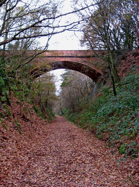
Image: © P L Chadwick Taken: 11 Dec 2010
The bridge carries Wilden Top Road above this former railway line to Stourport-on-Severn. This part of the line is now part of Leapgate Country Park. Image Image
Images are licensed for reuse under creativecommons.org/licenses/by-sa/2.0
Image Location
Latitude
52.3458
Longitude
-2.253911