Ferry Road, SW13
Introduction
The photograph on this page of Ferry Road, SW13 by Derek Harper as part of the Geograph project.
The Geograph project started in 2005 with the aim of publishing, organising and preserving representative images for every square kilometre of Great Britain, Ireland and the Isle of Man.

There are currently over 7.5m images from over 14,400 individuals and you can help contribute to the project by visiting https://www.geograph.org.uk
Ferry Road, SW13
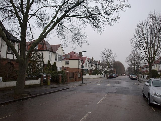
Image: © Derek Harper Taken: 6 Jan 2011
An unpleasantly wet morning in Castelnau. The junction on the left is with Galata Road, an interesting Turkish reference.
Images are licensed for reuse under creativecommons.org/licenses/by-sa/2.0
Image Location
Latitude
51.479851
Longitude
-0.241962