The Quaggy River west of Clarendon Road, SE13
Introduction
The photograph on this page of The Quaggy River west of Clarendon Road, SE13 by Mike Quinn as part of the Geograph project.
The Geograph project started in 2005 with the aim of publishing, organising and preserving representative images for every square kilometre of Great Britain, Ireland and the Isle of Man.

There are currently over 7.5m images from over 14,400 individuals and you can help contribute to the project by visiting https://www.geograph.org.uk
The Quaggy River west of Clarendon Road, SE13
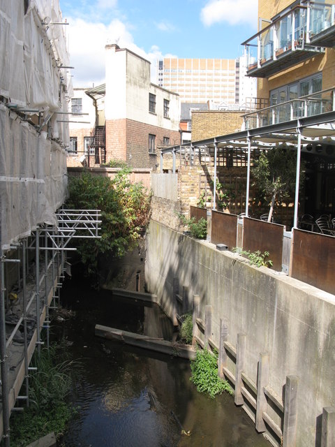
Image: © Mike Quinn Taken: 30 Jul 2010
To the west of the northern end of Clarendon Road, SE13 and just south of Lee High Road (A20).
Images are licensed for reuse under creativecommons.org/licenses/by-sa/2.0
Image Location
Latitude
51.461995
Longitude
-0.008801