Central London from the air
Introduction
The photograph on this page of Central London from the air by Thomas Nugent as part of the Geograph project.
The Geograph project started in 2005 with the aim of publishing, organising and preserving representative images for every square kilometre of Great Britain, Ireland and the Isle of Man.

There are currently over 7.5m images from over 14,400 individuals and you can help contribute to the project by visiting https://www.geograph.org.uk
Central London from the air
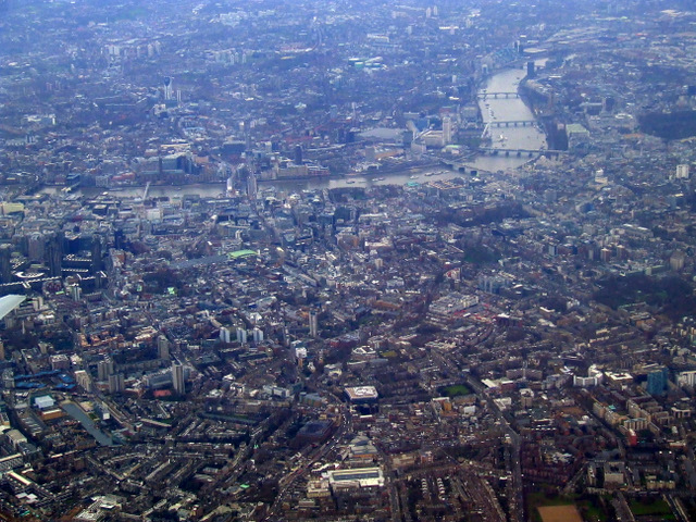
Image: © Thomas Nugent Taken: 24 Jan 2011
Islington is in the foreground, with part of Barnard Park in the lower right corner. Corams Fields and the Royal Mail sorting office at Mount Pleasant are to the right of centre with Westminster and the Thames to the top right.
Images are licensed for reuse under creativecommons.org/licenses/by-sa/2.0
Image Location
Latitude
51.535097
Longitude
-0.10545