Clarice House, Bury St Edmunds
Introduction
The photograph on this page of Clarice House, Bury St Edmunds by Bob Jones as part of the Geograph project.
The Geograph project started in 2005 with the aim of publishing, organising and preserving representative images for every square kilometre of Great Britain, Ireland and the Isle of Man.

There are currently over 7.5m images from over 14,400 individuals and you can help contribute to the project by visiting https://www.geograph.org.uk
Clarice House, Bury St Edmunds
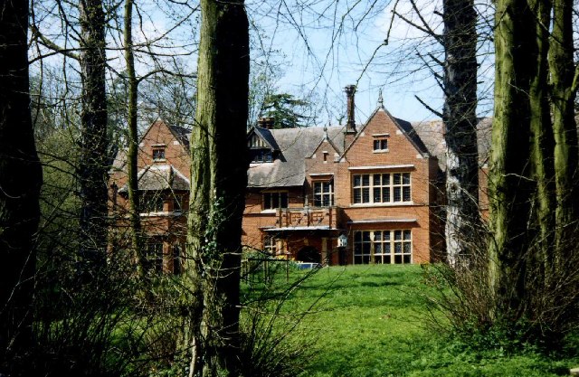
Image: © Bob Jones Taken: 6 Jul 2002
Now a leisure and fitness club, this was formerly Horringer Court on the outskirts of Bury St Edmunds.
Images are licensed for reuse under creativecommons.org/licenses/by-sa/2.0
Image Location


Leaflet Map data © OpenStreetMap
Latitude
52.231813
Longitude
0.689999