Chinbrook Meadows
Introduction
The photograph on this page of Chinbrook Meadows by Mike Quinn as part of the Geograph project.
The Geograph project started in 2005 with the aim of publishing, organising and preserving representative images for every square kilometre of Great Britain, Ireland and the Isle of Man.

There are currently over 7.5m images from over 14,400 individuals and you can help contribute to the project by visiting https://www.geograph.org.uk
Chinbrook Meadows
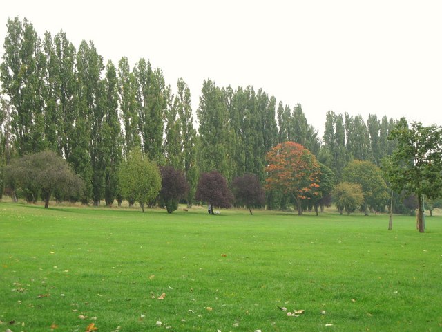
Image: © Mike Quinn Taken: 28 Sep 2010
The park takes its name from the stream commonly known as the Quaggy River but sometimes referred to as the Kyd Brook or Chin Brook. In the 1960s the Quaggy River within Chinbrook Meadows and other parks was channelled into long straight concrete culverts to alleviate flooding and was closed off behind tall hedges and iron fences; this cut the park in two with the larger part to the east of the river. In the early 2000s however the concrete channel with its fences and hedges was demolished and river was remodelled to give a natural, meandering appearance with a small flood plain; this was to encourage wild plants and animals back to the area and to be more pleasant and attractive for the public. The regeneration was completed on 1 October 2002 and cost a reported £1.1million. For more info see the Wiki entry http://en.wikipedia.org/wiki/Chinbrook_Meadows and the official Lewisham site http://www.lewisham.gov.uk/LeisureAndCulture/ParksAndRecreation/LocalParks/ChinbrookMeadows.htm.
Images are licensed for reuse under creativecommons.org/licenses/by-sa/2.0
Image Location
Latitude
51.430523
Longitude
0.028328