Stone Ash Lane
Introduction
The photograph on this page of Stone Ash Lane by Derek Harper as part of the Geograph project.
The Geograph project started in 2005 with the aim of publishing, organising and preserving representative images for every square kilometre of Great Britain, Ireland and the Isle of Man.

There are currently over 7.5m images from over 14,400 individuals and you can help contribute to the project by visiting https://www.geograph.org.uk
Stone Ash Lane
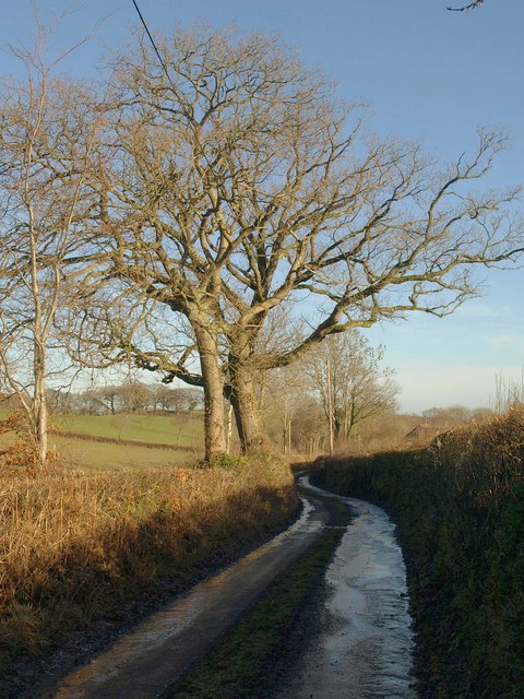
Image: © Derek Harper Taken: 19 Jan 2011
The lane, leading just to farms, passes oak trees as it approaches Crookstock.
Images are licensed for reuse under creativecommons.org/licenses/by-sa/2.0
Image Location
Latitude
50.858371
Longitude
-3.714