Upper Norwood: Church Road
Introduction
The photograph on this page of Upper Norwood: Church Road by Christopher Hilton as part of the Geograph project.
The Geograph project started in 2005 with the aim of publishing, organising and preserving representative images for every square kilometre of Great Britain, Ireland and the Isle of Man.

There are currently over 7.5m images from over 14,400 individuals and you can help contribute to the project by visiting https://www.geograph.org.uk
Upper Norwood: Church Road
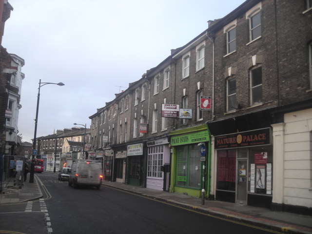
Image: © Christopher Hilton Taken: 25 Jan 2011
Church Road, the eastern limb of the Upper Norwood triangle, is a less thriving retail artery than the other two sides of the triangle and specialises in quirkier or more specialised shops and businesses, some of them seemingly hanging on by their fingernails.
Images are licensed for reuse under creativecommons.org/licenses/by-sa/2.0
Image Location
Latitude
51.418854
Longitude
-0.07977