2011 : Siston Brook looking upstream
Introduction
The photograph on this page of 2011 : Siston Brook looking upstream by Maurice Pullin as part of the Geograph project.
The Geograph project started in 2005 with the aim of publishing, organising and preserving representative images for every square kilometre of Great Britain, Ireland and the Isle of Man.

There are currently over 7.5m images from over 14,400 individuals and you can help contribute to the project by visiting https://www.geograph.org.uk
2011 : Siston Brook looking upstream
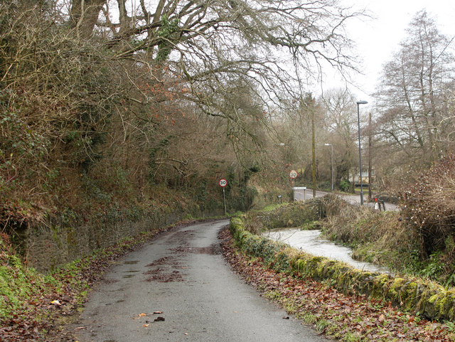
Image: © Maurice Pullin Taken: 17 Jan 2011
The brook crosses the end of Court Road under a low bridge. The road disappearing behind the 30mph sign is California Road.
Images are licensed for reuse under creativecommons.org/licenses/by-sa/2.0
Image Location
Latitude
51.439897
Longitude
-2.478184