Churchyard, Giddy Green
Introduction
The photograph on this page of Churchyard, Giddy Green by Maigheach-gheal as part of the Geograph project.
The Geograph project started in 2005 with the aim of publishing, organising and preserving representative images for every square kilometre of Great Britain, Ireland and the Isle of Man.

There are currently over 7.5m images from over 14,400 individuals and you can help contribute to the project by visiting https://www.geograph.org.uk
Churchyard, Giddy Green
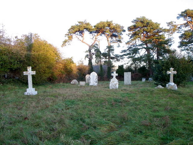
Image: © Maigheach-gheal Taken: 9 Jan 2011
Attached to the former Church of St Mary is a large graveyard.
Images are licensed for reuse under creativecommons.org/licenses/by-sa/2.0
Image Location
Latitude
50.677915
Longitude
-2.238851