Road junction, St Woolos Hospital, Newport
Introduction
The photograph on this page of Road junction, St Woolos Hospital, Newport by Jaggery as part of the Geograph project.
The Geograph project started in 2005 with the aim of publishing, organising and preserving representative images for every square kilometre of Great Britain, Ireland and the Isle of Man.

There are currently over 7.5m images from over 14,400 individuals and you can help contribute to the project by visiting https://www.geograph.org.uk
Road junction, St Woolos Hospital, Newport
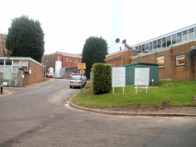
Image: © Jaggery Taken: 23 Jan 2011
Viewed from near the Friars Road entrance. http://www.geograph.org.uk/photo/1473698 Ahead for the entrance http://www.geograph.org.uk/photo/2243456 to the southern section of the hospital, or turn right for other sections.
Images are licensed for reuse under creativecommons.org/licenses/by-sa/2.0
Image Location
Latitude
51.58027
Longitude
-3.002954