Eastern perimeter road, St Woolos Hospital, Newport
Introduction
The photograph on this page of Eastern perimeter road, St Woolos Hospital, Newport by Jaggery as part of the Geograph project.
The Geograph project started in 2005 with the aim of publishing, organising and preserving representative images for every square kilometre of Great Britain, Ireland and the Isle of Man.

There are currently over 7.5m images from over 14,400 individuals and you can help contribute to the project by visiting https://www.geograph.org.uk
Eastern perimeter road, St Woolos Hospital, Newport
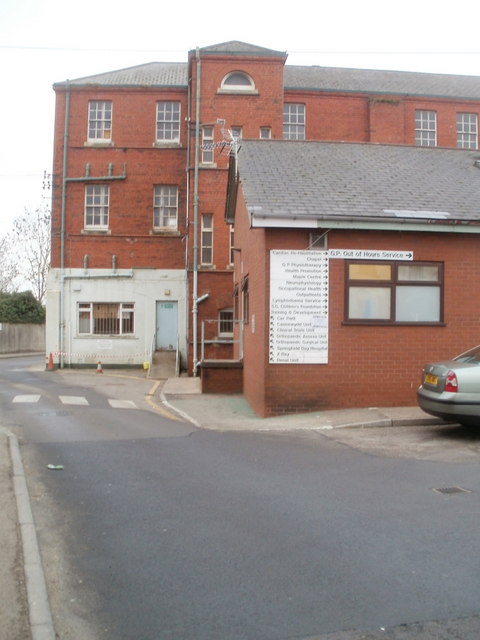
Image: © Jaggery Taken: 23 Jan 2011
A few metres beyond the entrance http://www.geograph.org.uk/photo/1628503 from Stow Hill, a large sign on a wall shows 20 locations, some to the right, some to the left along the road that descends to lower levels. The hospital occupies a steep roughly triangular site between Stow Hill on the north side, Friars Road to the south and east, and Stow Park Avenue to the west.
Images are licensed for reuse under creativecommons.org/licenses/by-sa/2.0
Image Location
Latitude
51.582068
Longitude
-3.002994