Meadows by Rickwood Farm
Introduction
The photograph on this page of Meadows by Rickwood Farm by Colin Smith as part of the Geograph project.
The Geograph project started in 2005 with the aim of publishing, organising and preserving representative images for every square kilometre of Great Britain, Ireland and the Isle of Man.

There are currently over 7.5m images from over 14,400 individuals and you can help contribute to the project by visiting https://www.geograph.org.uk
Meadows by Rickwood Farm
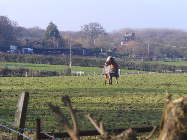
Image: © Colin Smith Taken: 21 Jan 2011
West Surrey countryside of grazing land, woodland and "horsieculture" between Ash Green and Christmas Pie. normandyhistorians.co.uk
Images are licensed for reuse under creativecommons.org/licenses/by-sa/2.0
Image Location
Latitude
51.239151
Longitude
-0.69052