Christmas Pie Trail
Introduction
The photograph on this page of Christmas Pie Trail by Colin Smith as part of the Geograph project.
The Geograph project started in 2005 with the aim of publishing, organising and preserving representative images for every square kilometre of Great Britain, Ireland and the Isle of Man.

There are currently over 7.5m images from over 14,400 individuals and you can help contribute to the project by visiting https://www.geograph.org.uk
Christmas Pie Trail
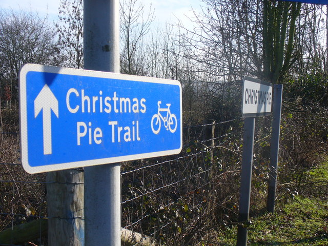
Image: © Colin Smith Taken: 21 Jan 2011
Cycle Route sign at the crossroads in the deliciously named hamlet of Christmas Pie. The name comes from a local family, Christmas, who owned land here - and Pie comes from "pightel", a Saxon word for a small bit of arable land. http://normandyhistorians.co.uk
Images are licensed for reuse under creativecommons.org/licenses/by-sa/2.0
Image Location
Latitude
51.240023
Longitude
-0.672159