A3072 at Lower Nichols Nymett Farm
Introduction
The photograph on this page of A3072 at Lower Nichols Nymett Farm by Derek Harper as part of the Geograph project.
The Geograph project started in 2005 with the aim of publishing, organising and preserving representative images for every square kilometre of Great Britain, Ireland and the Isle of Man.

There are currently over 7.5m images from over 14,400 individuals and you can help contribute to the project by visiting https://www.geograph.org.uk
A3072 at Lower Nichols Nymett Farm
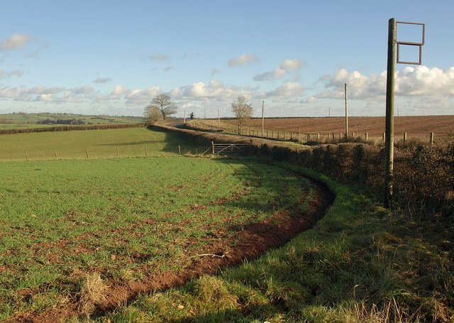
Image: © Derek Harper Taken: 18 Jan 2011
Seen from the point where the farm road leaves the main road. The ivy-clad tree just left of centre can be seen in Image
Images are licensed for reuse under creativecommons.org/licenses/by-sa/2.0
Image Location
Latitude
50.800168
Longitude
-3.850376