Sheep near de Bathe Cross
Introduction
The photograph on this page of Sheep near de Bathe Cross by Derek Harper as part of the Geograph project.
The Geograph project started in 2005 with the aim of publishing, organising and preserving representative images for every square kilometre of Great Britain, Ireland and the Isle of Man.

There are currently over 7.5m images from over 14,400 individuals and you can help contribute to the project by visiting https://www.geograph.org.uk
Sheep near de Bathe Cross
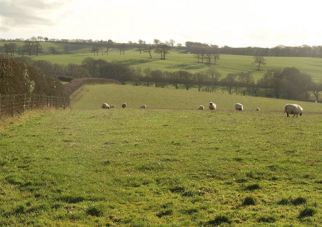
Image: © Derek Harper Taken: 18 Jan 2011
The nearer sheep shown in Image have retreated as I approached the gate. The field drops into the valley shown in Image The intermittent line of trees (in SX6799'>Image) on the far side follows the parish boundary between North and South Tawton, which itself follows the course of the Roman Road between Okehampton and Exeter.
Images are licensed for reuse under creativecommons.org/licenses/by-sa/2.0
Image Location
Latitude
50.789368
Longitude
-3.890102