Biggin Hill
Introduction
The photograph on this page of Biggin Hill by Rose Atkinson as part of the Geograph project.
The Geograph project started in 2005 with the aim of publishing, organising and preserving representative images for every square kilometre of Great Britain, Ireland and the Isle of Man.

There are currently over 7.5m images from over 14,400 individuals and you can help contribute to the project by visiting https://www.geograph.org.uk
Biggin Hill
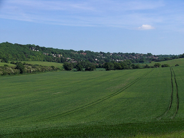
Image: © Rose Atkinson Taken: 6 Jun 2006
The town as seen from the edge of Jewels Wood. Norheads Lane runs through this picture from the left.
Images are licensed for reuse under creativecommons.org/licenses/by-sa/2.0
Image Location
Latitude
51.317044
Longitude
0.027624