Victoria Freehouse, Coxheath
Introduction
The photograph on this page of Victoria Freehouse, Coxheath by Oast House Archive as part of the Geograph project.
The Geograph project started in 2005 with the aim of publishing, organising and preserving representative images for every square kilometre of Great Britain, Ireland and the Isle of Man.

There are currently over 7.5m images from over 14,400 individuals and you can help contribute to the project by visiting https://www.geograph.org.uk
Victoria Freehouse, Coxheath
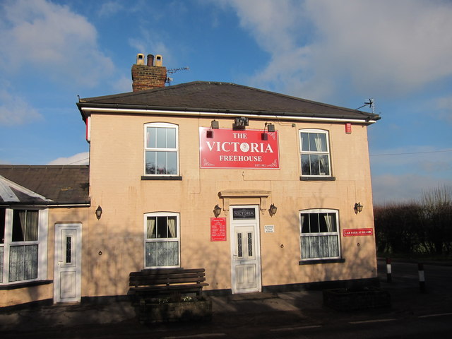
Image: © Oast House Archive Taken: 19 Jan 2011
At junction of Gallants Lane onto Heath Road. Also see Image
Images are licensed for reuse under creativecommons.org/licenses/by-sa/2.0
Image Location
Latitude
51.237081
Longitude
0.476959