Stafford, level crossing
Introduction
The photograph on this page of Stafford, level crossing by Mike Faherty as part of the Geograph project.
The Geograph project started in 2005 with the aim of publishing, organising and preserving representative images for every square kilometre of Great Britain, Ireland and the Isle of Man.

There are currently over 7.5m images from over 14,400 individuals and you can help contribute to the project by visiting https://www.geograph.org.uk
Stafford, level crossing
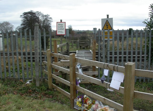
Image: © Mike Faherty Taken: 15 Jan 2011
Ungated crossing from Gravel Lane to a footpath to Rickerscote; protected by stiles on either side. It appears from floral tributes and messages that there was a fatality here in 2010; presumably someone trying to cross the railway lines.
Images are licensed for reuse under creativecommons.org/licenses/by-sa/2.0
Image Location
Latitude
52.775825
Longitude
-2.110839