Track to Gloddaeth Isaf
Introduction
The photograph on this page of Track to Gloddaeth Isaf by Jonathan Wilkins as part of the Geograph project.
The Geograph project started in 2005 with the aim of publishing, organising and preserving representative images for every square kilometre of Great Britain, Ireland and the Isle of Man.

There are currently over 7.5m images from over 14,400 individuals and you can help contribute to the project by visiting https://www.geograph.org.uk
Track to Gloddaeth Isaf
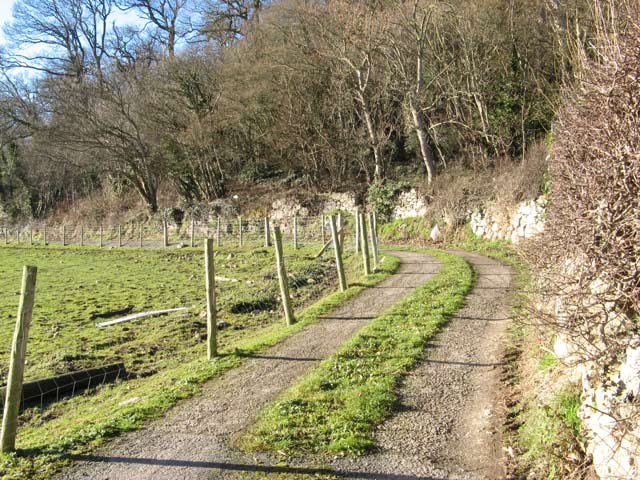
Image: © Jonathan Wilkins Taken: 20 Jan 2011
This private road runs to the farm along the foot of the wooded escarpment.
Images are licensed for reuse under creativecommons.org/licenses/by-sa/2.0
Image Location
Latitude
53.314191
Longitude
-3.784231