Fleet Meadow Community Hall
Introduction
The photograph on this page of Fleet Meadow Community Hall by Des Blenkinsopp as part of the Geograph project.
The Geograph project started in 2005 with the aim of publishing, organising and preserving representative images for every square kilometre of Great Britain, Ireland and the Isle of Man.

There are currently over 7.5m images from over 14,400 individuals and you can help contribute to the project by visiting https://www.geograph.org.uk
Fleet Meadow Community Hall
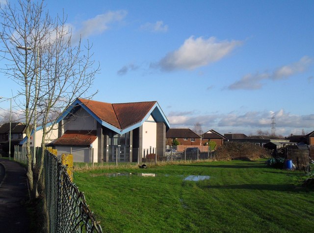
Image: © Des Blenkinsopp Taken: 18 Jan 2011
Fleet Meadow is a red coloured development on the east of Didcot and occupies the centre of this square. The area to the right of this pic. is allotments.
Images are licensed for reuse under creativecommons.org/licenses/by-sa/2.0
Image Location
Latitude
51.601473
Longitude
-1.232843