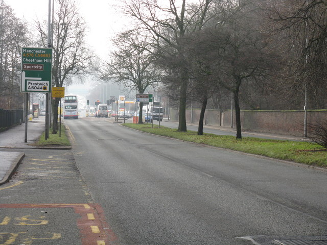
Sheepfoot Lane junction, Blackley
Introduction
The photograph on this page of Sheepfoot Lane junction, Blackley by Peter Whatley as part of the Geograph project.
The Geograph project started in 2005 with the aim of publishing, organising and preserving representative images for every square kilometre of Great Britain, Ireland and the Isle of Man.
There are currently over 7.5m images from over 14,400 individuals and you can help contribute to the project by visiting https://www.geograph.org.uk

Image: © Peter Whatley Taken: 19 Jan 2011
The diversion route symbol in the direction for Prestwich is a reminder of pre-motorway days when Sheepfoot Lane formed part of a tortuous northern ring route around Manchester for Trans-Pennine traffic. The M62 not only transformed long-distance travel, but also greatly reduced traffic congestion around suburban north Manchester.

