St James Forestry Commission land
Introduction
The photograph on this page of St James Forestry Commission land by Robin Drayton as part of the Geograph project.
The Geograph project started in 2005 with the aim of publishing, organising and preserving representative images for every square kilometre of Great Britain, Ireland and the Isle of Man.

There are currently over 7.5m images from over 14,400 individuals and you can help contribute to the project by visiting https://www.geograph.org.uk
St James Forestry Commission land
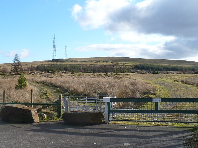
Image: © Robin Drayton Taken: 18 Jan 2011
Access to this Forestry Commission land from a small car park on the minor road between Ebbw Vale and Tredegar.
Images are licensed for reuse under creativecommons.org/licenses/by-sa/2.0
Image Location
Latitude
51.774979
Longitude
-3.225983