Hay Moor
Introduction
The photograph on this page of Hay Moor by Rupert Fleetingly as part of the Geograph project.
The Geograph project started in 2005 with the aim of publishing, organising and preserving representative images for every square kilometre of Great Britain, Ireland and the Isle of Man.

There are currently over 7.5m images from over 14,400 individuals and you can help contribute to the project by visiting https://www.geograph.org.uk
Hay Moor
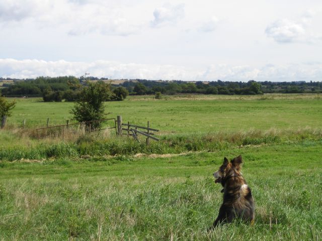
Image: © Rupert Fleetingly Taken: 22 Aug 2006
Hay Moor from the flood bank of the river Yeo (or Ivel). The "ditch" in the foreground is Long Sutton Main Drain.
Images are licensed for reuse under creativecommons.org/licenses/by-sa/2.0
Image Location
Latitude
51.026271
Longitude
-2.778486