Totnell Corner, Xmas Day 2010: farmland under snow (looking towards Melbury Bubb)
Introduction
The photograph on this page of Totnell Corner, Xmas Day 2010: farmland under snow (looking towards Melbury Bubb) by Keith Salvesen as part of the Geograph project.
The Geograph project started in 2005 with the aim of publishing, organising and preserving representative images for every square kilometre of Great Britain, Ireland and the Isle of Man.

There are currently over 7.5m images from over 14,400 individuals and you can help contribute to the project by visiting https://www.geograph.org.uk
Totnell Corner, Xmas Day 2010: farmland under snow (looking towards Melbury Bubb)
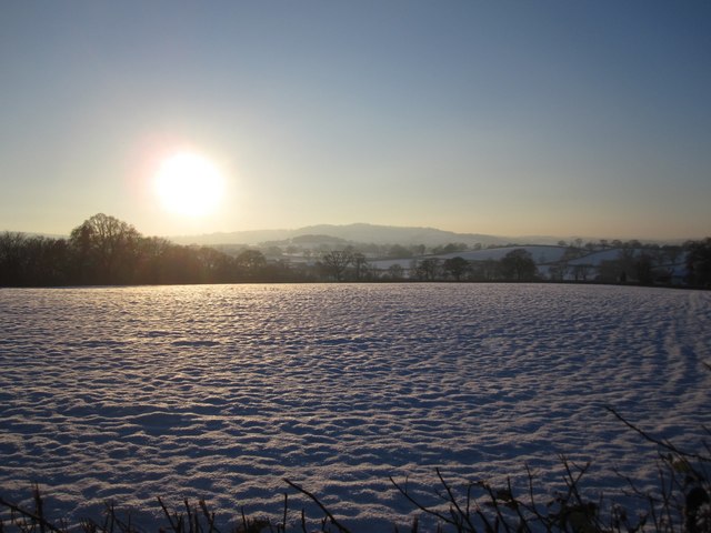
Image: © Keith Salvesen Taken: 25 Dec 2010
See my other photo of the same view in a warmer season...
Images are licensed for reuse under creativecommons.org/licenses/by-sa/2.0
Image Location


Leaflet Map data © OpenStreetMap
Latitude
50.872356
Longitude
-2.531898