Stour Valley Walk to Cooper Street Drove
Introduction
The photograph on this page of Stour Valley Walk to Cooper Street Drove by David Anstiss as part of the Geograph project.
The Geograph project started in 2005 with the aim of publishing, organising and preserving representative images for every square kilometre of Great Britain, Ireland and the Isle of Man.

There are currently over 7.5m images from over 14,400 individuals and you can help contribute to the project by visiting https://www.geograph.org.uk
Stour Valley Walk to Cooper Street Drove
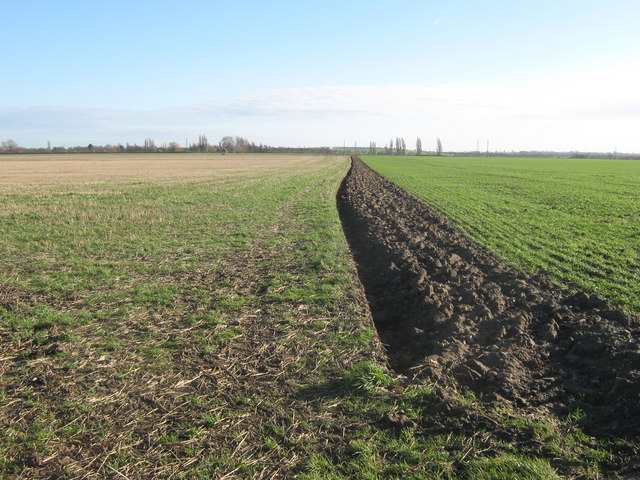
Image: © David Anstiss Taken: 16 Jan 2011
The long distance path leads from the lane near Standhills Farm, via a field edge path towards the lane near Fleet Farm. This path used to travel through another orchard, this section though has been dug up and become two arable fields.
Images are licensed for reuse under creativecommons.org/licenses/by-sa/2.0
Image Location
Latitude
51.298423
Longitude
1.30019