The Duke of Northumberland's River at Isleworth
Introduction
The photograph on this page of The Duke of Northumberland's River at Isleworth by Marathon as part of the Geograph project.
The Geograph project started in 2005 with the aim of publishing, organising and preserving representative images for every square kilometre of Great Britain, Ireland and the Isle of Man.

There are currently over 7.5m images from over 14,400 individuals and you can help contribute to the project by visiting https://www.geograph.org.uk
The Duke of Northumberland's River at Isleworth
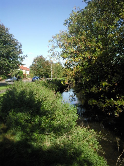
Image: © Marathon Taken: 20 Oct 2010
In the area known as Woodlands, the road on the left is appropriately called Riverside Walk. This section of the Duke of Northumberland's River dates from the time of Syon Abbey and supplied water to the mill at Isleworth and later to the ornamental ponds in the Duke of Northumberland's estate at Syon.
Images are licensed for reuse under creativecommons.org/licenses/by-sa/2.0
Image Location
Latitude
51.4703
Longitude
-0.339373