Development halted
Introduction
The photograph on this page of Development halted by Stephen Craven as part of the Geograph project.
The Geograph project started in 2005 with the aim of publishing, organising and preserving representative images for every square kilometre of Great Britain, Ireland and the Isle of Man.

There are currently over 7.5m images from over 14,400 individuals and you can help contribute to the project by visiting https://www.geograph.org.uk
Development halted
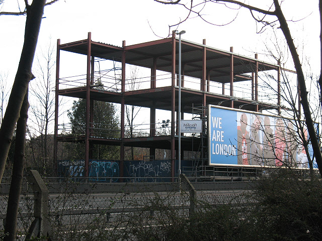
Image: © Stephen Craven Taken: 16 Jan 2011
This steel-framed structure to the east of the A102 was erected a few years before the photo was taken but has not yet been completed.
Images are licensed for reuse under creativecommons.org/licenses/by-sa/2.0
Image Location
Latitude
51.484073
Longitude
0.020621