Footpath crosses the A20 Canterbury Road
Introduction
The photograph on this page of Footpath crosses the A20 Canterbury Road by David Anstiss as part of the Geograph project.
The Geograph project started in 2005 with the aim of publishing, organising and preserving representative images for every square kilometre of Great Britain, Ireland and the Isle of Man.

There are currently over 7.5m images from over 14,400 individuals and you can help contribute to the project by visiting https://www.geograph.org.uk
Footpath crosses the A20 Canterbury Road
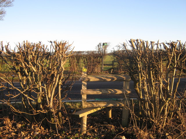
Image: © David Anstiss Taken: 9 Jan 2011
A footpath from Ridge Row leads through the field beside Red House Farm and then crosses the road (via the two stiles) then heads towards Pound Farm and Reinden Wood.
Images are licensed for reuse under creativecommons.org/licenses/by-sa/2.0
Image Location
Latitude
51.136845
Longitude
1.161255