Hollingbourne Recreation Ground
Introduction
The photograph on this page of Hollingbourne Recreation Ground by Penny Mayes as part of the Geograph project.
The Geograph project started in 2005 with the aim of publishing, organising and preserving representative images for every square kilometre of Great Britain, Ireland and the Isle of Man.

There are currently over 7.5m images from over 14,400 individuals and you can help contribute to the project by visiting https://www.geograph.org.uk
Hollingbourne Recreation Ground
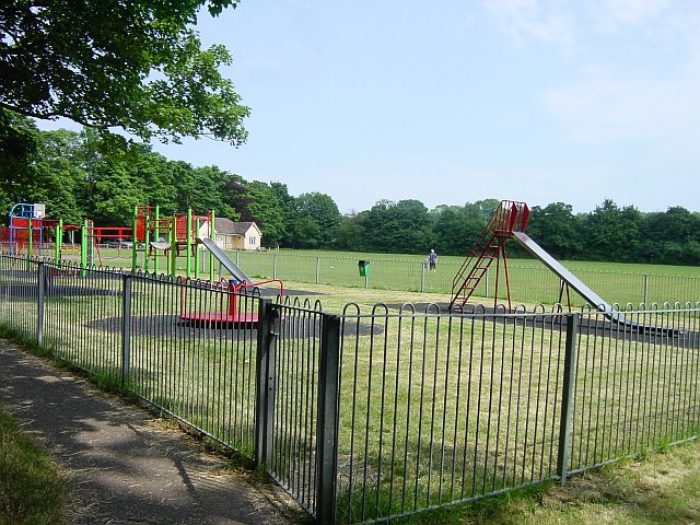
Image: © Penny Mayes Taken: 27 Jun 2005
Incorporating a children's playground, cricket pitch and five-a-side soccer pitch. Nicely screened from the road by alternate green and copper beech trees.
Images are licensed for reuse under creativecommons.org/licenses/by-sa/2.0
Image Location


Leaflet Map data © OpenStreetMap
Latitude
51.261695
Longitude
0.638687