Weathered bench mark on #60 Rhiwlas Street, Toxteth
Introduction
The photograph on this page of Weathered bench mark on #60 Rhiwlas Street, Toxteth by John S Turner as part of the Geograph project.
The Geograph project started in 2005 with the aim of publishing, organising and preserving representative images for every square kilometre of Great Britain, Ireland and the Isle of Man.

There are currently over 7.5m images from over 14,400 individuals and you can help contribute to the project by visiting https://www.geograph.org.uk
Weathered bench mark on #60 Rhiwlas Street, Toxteth
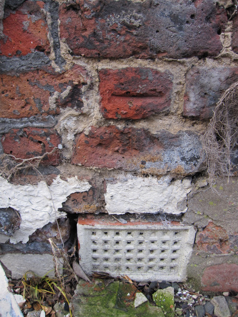
Image: © John S Turner Taken: 6 Jan 2011
This bench mark is only visible because a large chunk of rendering has fallen off the end wall of the house, which is due for demolition. The end wall of the house faces across South Street and it is to be demolished in phase 2 of the Princes Park regeneration zone project. See also Image
Images are licensed for reuse under creativecommons.org/licenses/by-sa/2.0
Image Location
Latitude
53.388502
Longitude
-2.957748