Track and farmland, Pirton
Introduction
The photograph on this page of Track and farmland, Pirton by Andrew Smith as part of the Geograph project.
The Geograph project started in 2005 with the aim of publishing, organising and preserving representative images for every square kilometre of Great Britain, Ireland and the Isle of Man.

There are currently over 7.5m images from over 14,400 individuals and you can help contribute to the project by visiting https://www.geograph.org.uk
Track and farmland, Pirton
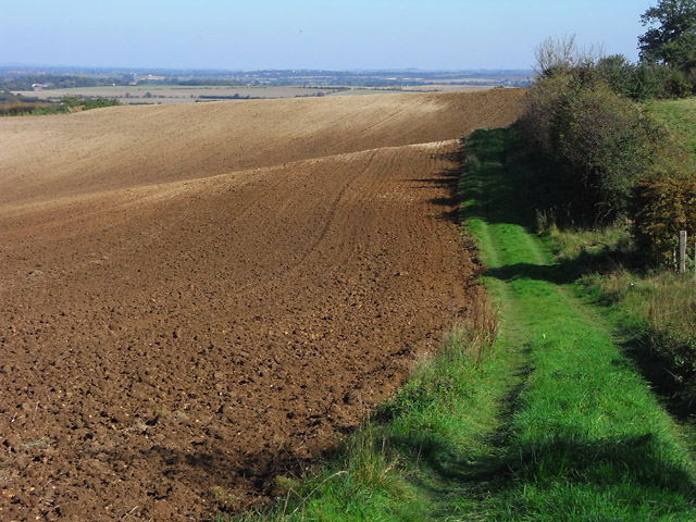
Image: © Andrew Smith Taken: 10 Oct 2010
The margin between an arable field and grassland on the hillside near High Down House.
Images are licensed for reuse under creativecommons.org/licenses/by-sa/2.0
Image Location


Leaflet Map data © OpenStreetMap
Latitude
51.963318
Longitude
-0.33839