Footpath to Scotter
Introduction
The photograph on this page of Footpath to Scotter by Jonathan Thacker as part of the Geograph project.
The Geograph project started in 2005 with the aim of publishing, organising and preserving representative images for every square kilometre of Great Britain, Ireland and the Isle of Man.

There are currently over 7.5m images from over 14,400 individuals and you can help contribute to the project by visiting https://www.geograph.org.uk
Footpath to Scotter
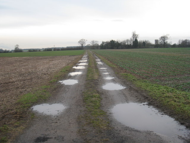
Image: © Jonathan Thacker Taken: 12 Jan 2011
Initially this footpath starts as a farm track but at the point where it meets the hedge it turns sharply to the right and narrows to a path.
Images are licensed for reuse under creativecommons.org/licenses/by-sa/2.0
Image Location
Latitude
53.498338
Longitude
-0.65784