Daventry Dismantled Railway
Introduction
The photograph on this page of Daventry Dismantled Railway by Ian Rob as part of the Geograph project.
The Geograph project started in 2005 with the aim of publishing, organising and preserving representative images for every square kilometre of Great Britain, Ireland and the Isle of Man.

There are currently over 7.5m images from over 14,400 individuals and you can help contribute to the project by visiting https://www.geograph.org.uk
Daventry Dismantled Railway
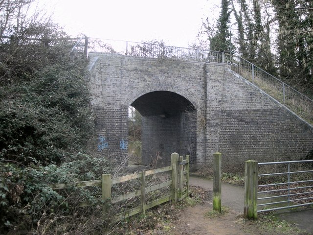
Image: © Ian Rob Taken: 11 Jan 2011
A footpath leading into Daventry Country Park passes under the dismantled Leamington to Weedon Line, which is also used as a footpath heading roughly north from the Town centre.
Images are licensed for reuse under creativecommons.org/licenses/by-sa/2.0
Image Location
Latitude
52.266673
Longitude
-1.160312