Royall Windows, St Bride's Wentlooge
Introduction
The photograph on this page of Royall Windows, St Bride's Wentlooge by Jaggery as part of the Geograph project.
The Geograph project started in 2005 with the aim of publishing, organising and preserving representative images for every square kilometre of Great Britain, Ireland and the Isle of Man.

There are currently over 7.5m images from over 14,400 individuals and you can help contribute to the project by visiting https://www.geograph.org.uk
Royall Windows, St Bride's Wentlooge
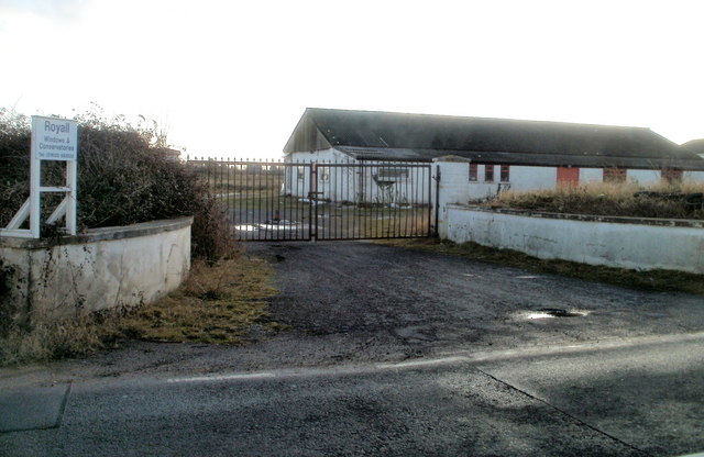
Image: © Jaggery Taken: 8 Jan 2011
Premises of Royall Windows and Conservatories, founded in 1989, located on the south side of the B4239, about 450 metres west of the Hawse Lane junction. http://www.geograph.org.uk/photo/2228078
Images are licensed for reuse under creativecommons.org/licenses/by-sa/2.0
Image Location
Latitude
51.526016
Longitude
-3.037798