Track to Down Barn Farm
Introduction
The photograph on this page of Track to Down Barn Farm by Derek Harper as part of the Geograph project.
The Geograph project started in 2005 with the aim of publishing, organising and preserving representative images for every square kilometre of Great Britain, Ireland and the Isle of Man.

There are currently over 7.5m images from over 14,400 individuals and you can help contribute to the project by visiting https://www.geograph.org.uk
Track to Down Barn Farm
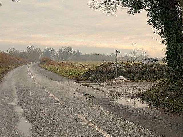
Image: © Derek Harper Taken: 2 Jan 2011
As it leaves the B4070. The track is shown as publicly accessible, and leads to a byway and a footpath.
Images are licensed for reuse under creativecommons.org/licenses/by-sa/2.0
Image Location
Latitude
51.785859
Longitude
-2.153041