Pinfold Lane, Kinoulton
Introduction
The photograph on this page of Pinfold Lane, Kinoulton by Alan Murray-Rust as part of the Geograph project.
The Geograph project started in 2005 with the aim of publishing, organising and preserving representative images for every square kilometre of Great Britain, Ireland and the Isle of Man.

There are currently over 7.5m images from over 14,400 individuals and you can help contribute to the project by visiting https://www.geograph.org.uk
Pinfold Lane, Kinoulton
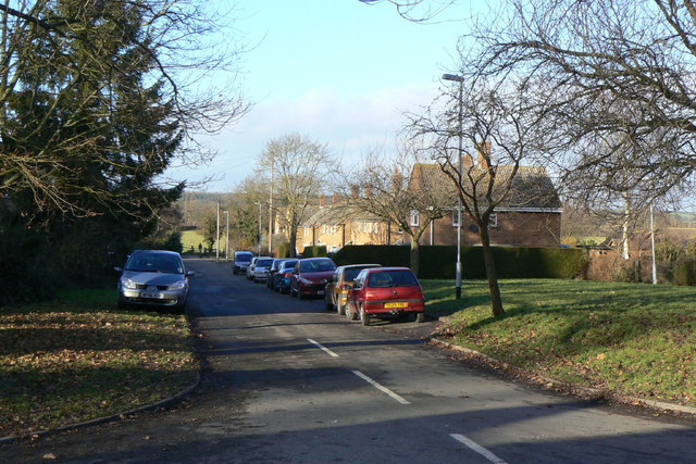
Image: © Alan Murray-Rust Taken: 9 Jan 2011
This looks like a council development of the 1950s. There is no sign of the pinfold, although several villages in the area still have one.
Images are licensed for reuse under creativecommons.org/licenses/by-sa/2.0
Image Location
Latitude
52.870431
Longitude
-0.996128