The path leading through the woods between Netley Church and the Abbey
Introduction
The photograph on this page of The path leading through the woods between Netley Church and the Abbey by David Mainwood as part of the Geograph project.
The Geograph project started in 2005 with the aim of publishing, organising and preserving representative images for every square kilometre of Great Britain, Ireland and the Isle of Man.

There are currently over 7.5m images from over 14,400 individuals and you can help contribute to the project by visiting https://www.geograph.org.uk
The path leading through the woods between Netley Church and the Abbey
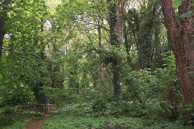
Image: © David Mainwood Taken: 4 May 2004
Go through the gate on the left and you enter the Abbey grounds.
Images are licensed for reuse under creativecommons.org/licenses/by-sa/2.0
Image Location


Leaflet Map data © OpenStreetMap
Latitude
50.874215
Longitude
-1.354704