St Luke's Church, Kinoulton
Introduction
The photograph on this page of St Luke's Church, Kinoulton by Alan Murray-Rust as part of the Geograph project.
The Geograph project started in 2005 with the aim of publishing, organising and preserving representative images for every square kilometre of Great Britain, Ireland and the Isle of Man.

There are currently over 7.5m images from over 14,400 individuals and you can help contribute to the project by visiting https://www.geograph.org.uk
St Luke's Church, Kinoulton
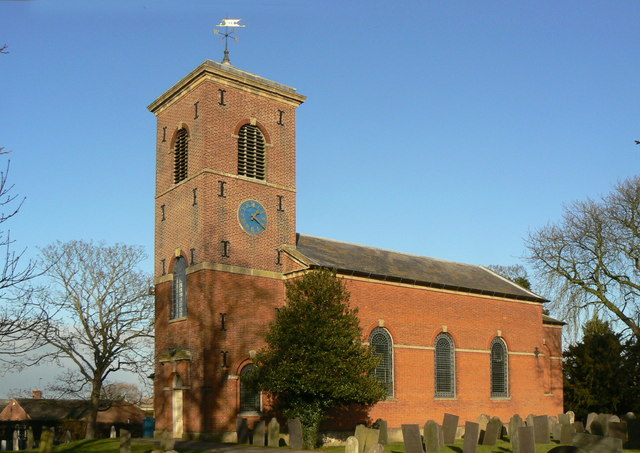
Image: © Alan Murray-Rust Taken: 9 Jan 2011
It's relatively rare to find a village parish church dating from as late as 1793. The previous church was not on the same site, but up on the wolds. The graveyard still exists http://www.geograph.org.uk/photo/430764 . Surprisingly, the dedication was not retained, and the one chosen is the same as in the next door village of Hickling. The current church is Listed Grade II*. There is a bench mark http://www.geograph.org.uk/photo/3958199 on the near corner of the tower.
Images are licensed for reuse under creativecommons.org/licenses/by-sa/2.0
Image Location
Latitude
52.869715
Longitude
-0.99659