Mortlake level crossing
Introduction
The photograph on this page of Mortlake level crossing by Stephen Craven as part of the Geograph project.
The Geograph project started in 2005 with the aim of publishing, organising and preserving representative images for every square kilometre of Great Britain, Ireland and the Isle of Man.

There are currently over 7.5m images from over 14,400 individuals and you can help contribute to the project by visiting https://www.geograph.org.uk
Mortlake level crossing
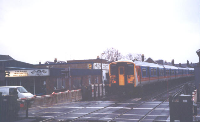
Image: © Stephen Craven Taken: 11 Dec 2003
The crossing at the east end of Mortlake station, equipped with full-width barriers (unusual nowadays).
Images are licensed for reuse under creativecommons.org/licenses/by-sa/2.0
Image Location
Latitude
51.468369
Longitude
-0.268031