Leyburn - stile on the Dale Grove estate
Introduction
The photograph on this page of Leyburn - stile on the Dale Grove estate by C P Smith as part of the Geograph project.
The Geograph project started in 2005 with the aim of publishing, organising and preserving representative images for every square kilometre of Great Britain, Ireland and the Isle of Man.

There are currently over 7.5m images from over 14,400 individuals and you can help contribute to the project by visiting https://www.geograph.org.uk
Leyburn - stile on the Dale Grove estate
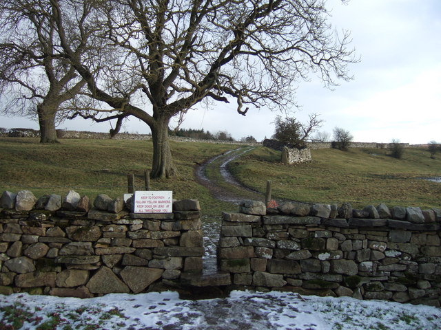
Image: © C P Smith Taken: 8 Jan 2011
This stile gives access from the Dale Grove estate (for the most part built since and thus not shown on the last update to the 1:50000 map [2002]) to the footpath to High Side and thence, via a track, to Harmby.
Images are licensed for reuse under creativecommons.org/licenses/by-sa/2.0
Image Location
Latitude
54.314995
Longitude
-1.819044