1.2 acres of development land
Introduction
The photograph on this page of 1.2 acres of development land by Christine Johnstone as part of the Geograph project.
The Geograph project started in 2005 with the aim of publishing, organising and preserving representative images for every square kilometre of Great Britain, Ireland and the Isle of Man.

There are currently over 7.5m images from over 14,400 individuals and you can help contribute to the project by visiting https://www.geograph.org.uk
1.2 acres of development land
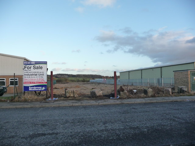
Image: © Christine Johnstone Taken: 9 Jan 2011
On Astley Way. Clearly an informal travellers' site is not the preferred kind of development.
Images are licensed for reuse under creativecommons.org/licenses/by-sa/2.0
Image Location


Leaflet Map data © OpenStreetMap
Latitude
53.762403
Longitude
-1.414439