Road to Park Farm
Introduction
The photograph on this page of Road to Park Farm by Derek Harper as part of the Geograph project.
The Geograph project started in 2005 with the aim of publishing, organising and preserving representative images for every square kilometre of Great Britain, Ireland and the Isle of Man.

There are currently over 7.5m images from over 14,400 individuals and you can help contribute to the project by visiting https://www.geograph.org.uk
Road to Park Farm
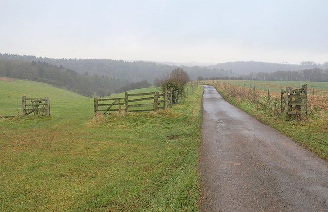
Image: © Derek Harper Taken: 1 Jan 2011
As the waymark shows, footpath MMN/25/2 follows the drive towards the western branch of the wooded upper Frome valley past gates and fencing.
Images are licensed for reuse under creativecommons.org/licenses/by-sa/2.0
Image Location
Latitude
51.784122
Longitude
-2.09563