Lostock Junction
Introduction
The photograph on this page of Lostock Junction by David Dixon as part of the Geograph project.
The Geograph project started in 2005 with the aim of publishing, organising and preserving representative images for every square kilometre of Great Britain, Ireland and the Isle of Man.

There are currently over 7.5m images from over 14,400 individuals and you can help contribute to the project by visiting https://www.geograph.org.uk
Lostock Junction
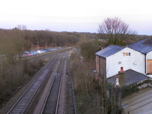
Image: © David Dixon Taken: 8 Jan 2011
Looking from the bridge at Rumworth Road, along the railway line from Wigan to the junction apprimately 150 yards to the east of Lostock Station. At this junction the Wigan line joins that from Preston, before continuing towards Bolton and Manchester.
Images are licensed for reuse under creativecommons.org/licenses/by-sa/2.0
Image Location
Latitude
53.573616
Longitude
-2.492417