Upper Colwall
Introduction
The photograph on this page of Upper Colwall by Bob Embleton as part of the Geograph project.
The Geograph project started in 2005 with the aim of publishing, organising and preserving representative images for every square kilometre of Great Britain, Ireland and the Isle of Man.

There are currently over 7.5m images from over 14,400 individuals and you can help contribute to the project by visiting https://www.geograph.org.uk
Upper Colwall
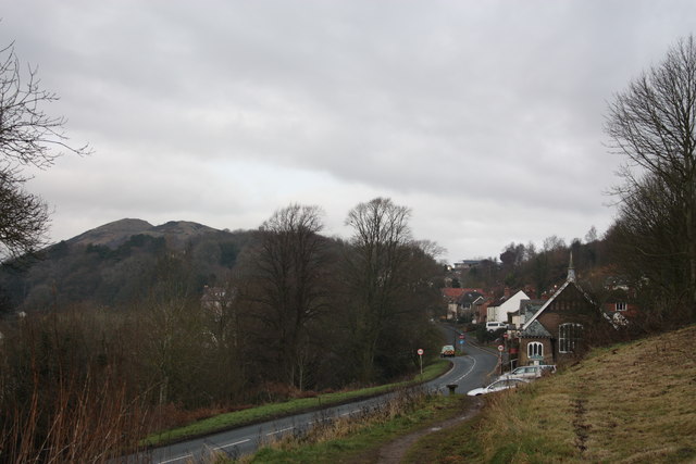
Image: © Bob Embleton Taken: 6 Jan 2011
The north end of Jubilee Drive close to the Wyche Cutting. The peaks of Worcestershire Beacon and Summer Hill are beyond.
Images are licensed for reuse under creativecommons.org/licenses/by-sa/2.0
Image Location
Latitude
52.089359
Longitude
-2.339293