Nettlefold Place
Introduction
The photograph on this page of Nettlefold Place by Stephen Richards as part of the Geograph project.
The Geograph project started in 2005 with the aim of publishing, organising and preserving representative images for every square kilometre of Great Britain, Ireland and the Isle of Man.

There are currently over 7.5m images from over 14,400 individuals and you can help contribute to the project by visiting https://www.geograph.org.uk
Nettlefold Place
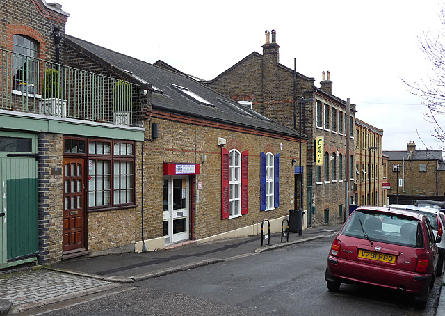
Image: © Stephen Richards Taken: Unknown
A small loop off Knight's Hill currently comprising a mixture of residential, retail and light industrial uses. The building at the end appears to be in the process of conversion into offices. It would be interesting to know the original uses of these buildings. The road is named after Frederick Nettlefold, local philanthropist, who lived at Norwood Grove, and industrialist whose company cornered the market in wood screws.
Images are licensed for reuse under creativecommons.org/licenses/by-sa/2.0
Image Location
Latitude
51.432746
Longitude
-0.104508