Oakdene Road
Introduction
The photograph on this page of Oakdene Road by Ian Capper as part of the Geograph project.
The Geograph project started in 2005 with the aim of publishing, organising and preserving representative images for every square kilometre of Great Britain, Ireland and the Isle of Man.

There are currently over 7.5m images from over 14,400 individuals and you can help contribute to the project by visiting https://www.geograph.org.uk
Oakdene Road
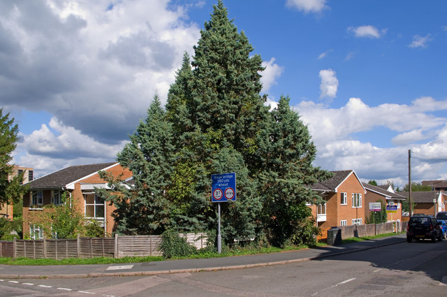
Image: © Ian Capper Taken: 12 Sep 2010
Seen here at its junction with Linkfield Street. Oakdene Road was originally called Tanyard Lane, after the tannery that stood on the site (see Image). Most of the site has now been used for housing.
Images are licensed for reuse under creativecommons.org/licenses/by-sa/2.0
Image Location
Latitude
51.238195
Longitude
-0.17575