Harland Way Junction
Introduction
The photograph on this page of Harland Way Junction by DS Pugh as part of the Geograph project.
The Geograph project started in 2005 with the aim of publishing, organising and preserving representative images for every square kilometre of Great Britain, Ireland and the Isle of Man.

There are currently over 7.5m images from over 14,400 individuals and you can help contribute to the project by visiting https://www.geograph.org.uk
Harland Way Junction
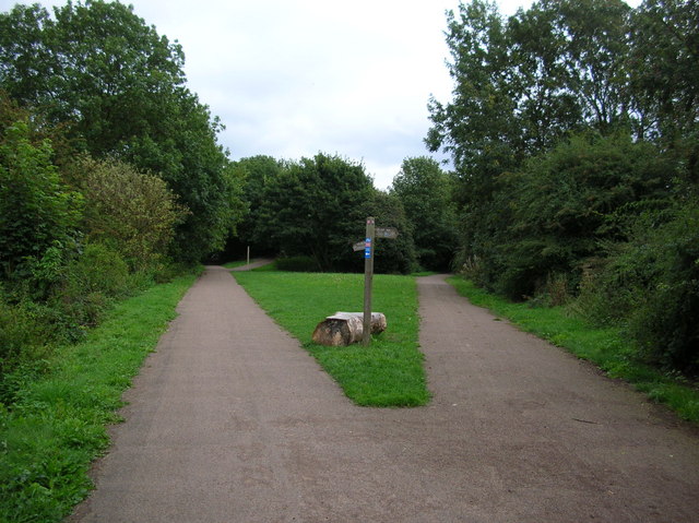
Image: © DS Pugh Taken: 20 Aug 2006
The Harland Way is a cycle route between Spofforth and Wetherby making use of the old railways. The left hand track took the railway to Tadcaster, and the right to join another line going to Leeds between Leeds and Garforth.
Images are licensed for reuse under creativecommons.org/licenses/by-sa/2.0
Image Location
Latitude
53.935597
Longitude
-1.395263