Ivel Close
Introduction
The photograph on this page of Ivel Close by Nigel Mykura as part of the Geograph project.
The Geograph project started in 2005 with the aim of publishing, organising and preserving representative images for every square kilometre of Great Britain, Ireland and the Isle of Man.

There are currently over 7.5m images from over 14,400 individuals and you can help contribute to the project by visiting https://www.geograph.org.uk
Ivel Close
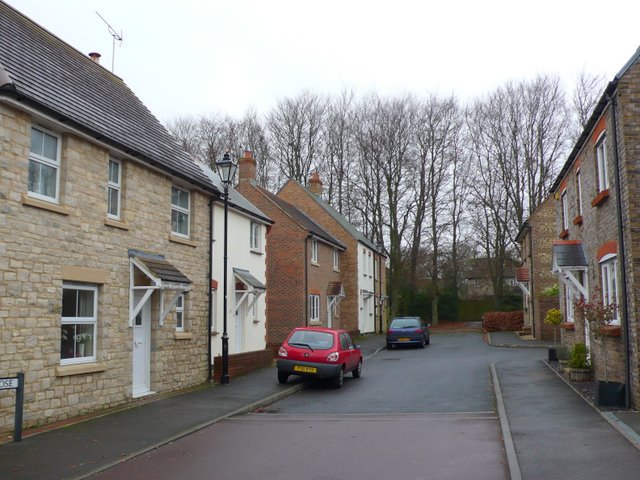
Image: © Nigel Mykura Taken: 4 Jan 2011
This is one of the short residential streets built on the site of the old Thomas Hardye School. The trees at the end mark the pedestrian section of Barnes Way. The housing development resulted in a large central part of Barnes way disappearing leaving two unconnected sections at either end and also this small pedestrian pathway.
Images are licensed for reuse under creativecommons.org/licenses/by-sa/2.0
Image Location
Latitude
50.706767
Longitude
-2.431455