Gare Loch shoreline
Introduction
The photograph on this page of Gare Loch shoreline by Mark Nightingale as part of the Geograph project.
The Geograph project started in 2005 with the aim of publishing, organising and preserving representative images for every square kilometre of Great Britain, Ireland and the Isle of Man.

There are currently over 7.5m images from over 14,400 individuals and you can help contribute to the project by visiting https://www.geograph.org.uk
Gare Loch shoreline
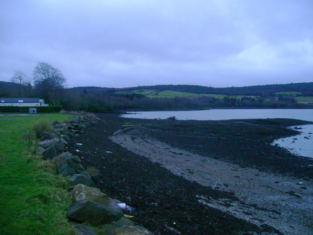
Image: © Mark Nightingale Taken: 31 Dec 2010
Looking along the west shore of the Gare Loch as it rounds Rosneath Bay.
Images are licensed for reuse under creativecommons.org/licenses/by-sa/2.0
Image Location
Latitude
56.001287
Longitude
-4.77891